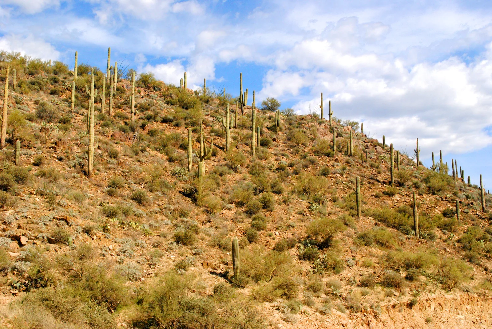
Photo: Mimi Cummins, CC BY 2.0, via Wikimedia Commons
trail running
Bradshaw Brute 100 · Cocodona 2027
The first 100 miles of the Cocodona course, Black Canyon City to Watson Lake Park in Prescott over the Bradshaw Mountains, with no pacers or crew, inside 38 hours.
Start Line - Deep…M12.2 - Cottonwoo…M15.2 - Water Sta…M29.4 - Water Sta…M37.3 - Lane Moun…M41.4 - Crown KingM55.8 - Arrastra …M67.7 - Kamp KipaM74.2 - Camp Wama…M80.2 - Goldwater…Finish Line - Wat…
The biggest climbs
Starts at
Length
Gain
Average grade
19.2 mi / 30.9 km
3.0 mi / 4.8 km
1,781 ft / 543 m
11.3%
32.2 mi / 51.8 km
3.1 mi / 5.0 km
1,506 ft / 459 m
9.3%
55.9 mi / 89.9 km
2.6 mi / 4.1 km
1,227 ft / 374 m
9.1%
65.0 mi / 104.6 km
1.4 mi / 2.2 km
804 ft / 245 m
10.9%
63.5 mi / 102.2 km
1.5 mi / 2.3 km
764 ft / 233 m
10%
24.4 mi / 39.2 km
0.9 mi / 1.5 km
630 ft / 192 m
12.6%
The biggest descents
Starts at
Length
Drop
Average grade
38.5 mi / 62.0 km
2.8 mi / 4.5 km
1,142 ft / 348 m
7.7%
45.5 mi / 73.2 km
3.1 mi / 5.0 km
1,099 ft / 335 m
6.7%
67.9 mi / 109.3 km
1.8 mi / 2.8 km
860 ft / 262 m
9.3%
28.4 mi / 45.7 km
1.0 mi / 1.6 km
709 ft / 216 m
13.6%
13.6 mi / 21.9 km
1.0 mi / 1.6 km
502 ft / 153 m
9.7%
66.5 mi / 107.0 km
1.1 mi / 1.8 km
449 ft / 137 m
7.4%
Points on the course
Start Line - Deep Canyon Ranch at 0.0 mi / 0.0 km, +0 ft −0 ft so far
M12.2 - Cottonwood Creek at 12.2 mi / 19.6 km, +1,516 ft −1,434 ft so far
M15.2 - Water Station at 15.2 mi / 24.5 km, +2,156 ft −1,936 ft so far
M29.4 - Water Station at 29.4 mi / 47.3 km, +6,686 ft −3,907 ft so far
M37.3 - Lane Mountain at 37.4 mi / 60.1 km, +9,485 ft −4,741 ft so far
M41.4 - Crown King at 41.4 mi / 66.6 km, +9,688 ft −5,909 ft so far
M55.8 - Arrastra Creek at 55.8 mi / 89.9 km, +11,398 ft −8,153 ft so far
M67.7 - Kamp Kipa at 67.7 mi / 108.9 km, +15,180 ft −9,685 ft so far
M74.2 - Camp Wamatochick at 74.2 mi / 119.4 km, +15,413 ft −10,988 ft so far
M80.2 - Goldwater Lake at 80.2 mi / 129.0 km, +15,581 ft −11,578 ft so far
Finish Line - Watson Lake Park at 99.9 mi / 160.7 km, +17,067 ft −13,812 ft so far
Derived from the course file (100-mile.gpx) analyzed Nov 6, 2026, not official race statistics. The file carried no elevation, so the heights come from a terrain model sampled along the course (AWS Terrain Tiles by Mapzen; 3DEP and SRTM terrain data courtesy of the U.S. Geological Survey, EU-DEM from Copernicus) — a smoother profile than a watch records. Official elevation gain 20,838 ft / 6,351 m, loss 17,565 ft / 5,354 m.
average during the 08:00–12:00 race hours at Black Canyon City, 5 years
The venue through the year
J
F
M
A
78 °FM
J
J
A
S
O
N
D
Over the last 5 years, the 08:00–12:00 race hours at Black Canyon City averaged 23.3 °C (73.9 °F) across the 7 days either side of May 2, 2027's calendar day.
From the Open-Meteo weather archive at the venue; an average over 5 years and a 7-day window, not a forecast.
The numbers for your goal
100.0 mi / 160.9 km inside 38 hours: a cutoff is the latest you may leave a station, and the organizer's schedule — tight early, looser late — is the shape of the race; pick a finish and the legs below are that schedule scaled to it.
Cutoff
38 hours
Average pace at the cutoff
22:48 /mi / 14:10 /km
Tightest checkpoint
Cottonwood Creek · 18:51 /mi / 11:43 /km(12.2 mi from the start, leave by Day 1, 09:50)
Tightest leg
Lane Mtn by UltrAspire → Crown King · 17:04 /mi / 10:36 /km(4.1 mi in 1:10)
Climb per mile
171 ft/mi / 32 m/km
Descent per mile
138 ft/mi / 26 m/km
Finish
Average pace
Least time in hand
19:00
11:24 /mi / 7:05 /km
+1:55 at Cottonwood Creek
22:00
13:12 /mi / 8:12 /km
+1:37 at Cottonwood Creek
26:00
15:36 /mi / 9:42 /km
+1:13 at Cottonwood Creek
30:00
18:00 /mi / 11:11 /km
+0:48 at Cottonwood Creek
34:00
20:24 /mi / 12:41 /km
+0:24 at Cottonwood Creek
38:00 (cutoff)
22:48 /mi / 14:10 /km
none — leave every station as it closes
Average pace 15:36 /mi / 9:42 /km on the organizer's cutoff schedule with no stops planned. Type minutes in the Stop column to see the moving pace that finish needs.
Section
Length
Climb
Descent
At
Arrive
Clock
Stop
Leave by
Buffer
Start → Start Line - Deep Canyon Ranch
0.0 mi / 0.0 km
0 ft / 0 m
0 ft / 0 m
0.0 mi / 0.0 km
0:00
Day 1, 06:00
—
—
Start Line - Deep Canyon Ranch → M12.2 - Cottonwood Creek
12.2 mi / 19.6 km
1,516 ft / 462 m
1,434 ft / 437 m
12.2 mi / 19.6 km
2:37
Day 1, 08:37
Day 1, 09:50
+1:13
M12.2 - Cottonwood Creek → M15.2 - Water Station
3.0 mi / 4.9 km
640 ft / 195 m
502 ft / 153 m
15.2 mi / 24.5 km
3:41
Day 1, 09:41
—
—
M15.2 - Water Station → M29.4 - Water Station
14.2 mi / 22.8 km
4,531 ft / 1,381 m
1,972 ft / 601 m
29.4 mi / 47.3 km
8:40
Day 1, 14:40
—
—
M29.4 - Water Station → M37.3 - Lane Mountain
8.0 mi / 12.8 km
2,799 ft / 853 m
833 ft / 254 m
37.4 mi / 60.1 km
11:28
Day 1, 17:28
Day 1, 22:45
+5:17
M37.3 - Lane Mountain → M41.4 - Crown King
4.0 mi / 6.4 km
203 ft / 62 m
1,168 ft / 356 m
41.4 mi / 66.6 km
12:16
Day 1, 18:16
Day 1, 23:55
+5:39
M41.4 - Crown King → M55.8 - Arrastra Creek
14.5 mi / 23.3 km
1,709 ft / 521 m
2,244 ft / 684 m
55.8 mi / 89.9 km
15:24
Day 1, 21:24
Day 2, 04:30
+7:06
M55.8 - Arrastra Creek → M67.7 - Kamp Kipa
11.8 mi / 19.0 km
3,783 ft / 1,153 m
1,532 ft / 467 m
67.7 mi / 108.9 km
19:20
Day 2, 01:20
Day 2, 10:15
+8:55
M67.7 - Kamp Kipa → M74.2 - Camp Wamatochick
6.6 mi / 10.5 km
233 ft / 71 m
1,302 ft / 397 m
74.2 mi / 119.4 km
20:42
Day 2, 02:42
Day 2, 12:15
+9:33
M74.2 - Camp Wamatochick → M80.2 - Goldwater Lake
5.9 mi / 9.6 km
167 ft / 51 m
591 ft / 180 m
80.2 mi / 129.0 km
21:54
Day 2, 03:54
Day 2, 14:00
+10:06
M80.2 - Goldwater Lake → Finish Line - Watson Lake Park
19.7 mi / 31.7 km
1,486 ft / 453 m
2,234 ft / 681 m
99.9 mi / 160.7 km
26:00
Day 2, 08:00
—
—
Finish Line - Watson Lake Park → Finish
0.0 mi / 0.0 km
0 ft / 0 m
0 ft / 0 m
99.9 mi / 160.7 km
26:00
Day 2, 08:00
—
Day 2, 20:00
+12:00
Checkpoint cutoffs from Runner Guide. Cutoffs can change before race week; check the organizer's current guide.
Arithmetic only: miles first, kilometers beside. Nothing here knows your fitness — the predictor does.
How Fit PA would coach you for Bradshaw Brute 100
Your coach reads the training already on your watch, the hours you say you have and the day on May 2, 2027, and builds the weeks backwards from the start line: the long sessions grow toward the distance, the hard days sit where your recovery says they can, and every planned workout lands on your Garmin, Coros, Suunto or Wahoo with its targets. When life moves, the plan moves with you instead of leaving you behind it.
2027 rules and notes
No pacers and no crew. Figures are the organizer's 2027 estimates.
About Bradshaw Brute 100
The Bradshaw Brute 100 is the opening hundred miles of the Cocodona 250: a point-to-point route from Deep Canyon Ranch in Black Canyon City to Watson Lake Park in Prescott. It covers the most remote and technical section of the Cocodona course, climbing out of the Sonoran desert and over the Bradshaw Mountains by way of Crown King, and it allows no pacers and no crew. The organizer recommends it to runners who are confident in remote, mountainous terrain.
The 2027 course is 100 miles with 20,838 ft of climbing and 17,565 ft of descent. The race starts at 6:00 AM on Sunday, an hour after the 250, and the time limit is 38 hours, an 8:00 PM cutoff on Monday. Standard registration closes on April 25, 2027.